
Best Places to See Fall Leaves In and Around NWA This 2026
The mornings are brisk, the weather is cooler, and the leaves are soon to be changing colors! Northwest Arkansas and the Ozarks make for some beautiful views this time of year.
We’ve put together a list of spots that’ll have your Instagram feed looking like a pumpkin spice latte commercial faster than you can say “sweater weather.”
Remember—the changing colors happen really quickly, so be ready to hop in your car!
Rogers
Lake Atalanta
About 4 miles of hard-surface trails follow the shoreline and border the surrounding forest. You get lakeside color without committing to a backcountry hike. A creek and a playground keep kids busy, and downtown Rogers is close enough for lunch or some browsing afterward.
📍Lake Atalanta, Rogers, AR 72756
Hobbs State Park-Conservation Area
At more than 12,000 acres, Hobbs is the largest state park in Arkansas, and it gives you two very different ways to catch the leaves. The Historic Van Winkle Trail is a relatively flat, half-mile walk through a former mill community. The roughly 4-mile Dry Creek Loop on Pigeon Roost Trail gives you more time under the trees and views of Beaver Lake. It is open to foot traffic only. The visitor center adds interactive exhibits and history lessons.
📍20201 AR-12, Rogers, AR 72756
War Eagle Mill
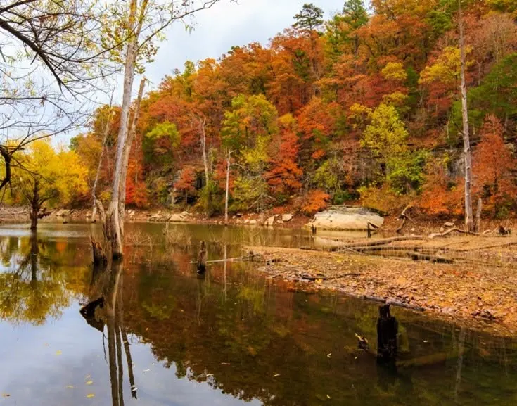
The red mill building stands out against the autumn trees, which makes it a natural photo stop. Order cornbread at the cafe, then add Hobbs to the same outing, since the two sit close together. Monte Ne Inn is another stop in that direction.
📍 11045 War Eagle Rd, Rogers
Bentonville
Coler Mountain Bike Preserve
You do not need a bike here. The Applegate Trail is the main walking route, a flat paved path that runs about 2.5 miles each way alongside a creek bed. The hardwoods overhead typically turn yellow, orange and red from late October into early November. Deep in the preserve, Airship Coffee is an open-air, solar-powered cafe with a beer garden, reachable only on foot or by bike. Expect a walk of just under a mile from any parking lot, and the North lot off Peach Orchard Road gives you the flatter, more direct paved approach. For a view above the trees, hike up to the Hub, the steel-and-wood structure at the highest point of the park.
📍 2500 NW 3rd St, Bentonville, AR 72712 (main office)
Bella Vista
Tanyard Creek Nature Trail
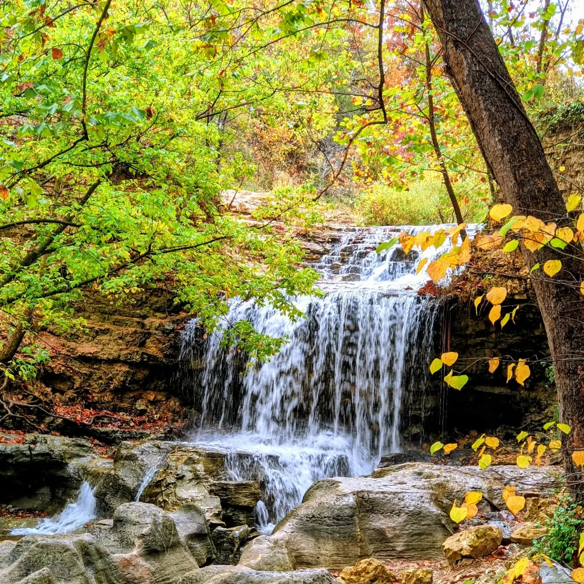
This valley hike follows a creek beneath limestone bluffs, so yellow and orange hardwoods reflect off the water. Early in the walk you cross a long swinging bridge, typically framed by gold and amber leaves from late October into early November. The waterfall, fed by the spillway from Lake Windsor, is the main stop, and you pass the remains of a 1920s rock crusher from the area’s quarry days. The 2.2-mile main loop is rated easy to moderate.
📍 Tanyard Creek Nature Trail, Bella Vista, AR 72715
Fayetteville
Mount Sequoyah
Three vantage points share the mountain: Mount Sequoyah Gardens, the overlook known as The Cross, and the Mount Sequoyah Woods Trail. The woods bring maples and oaks with contrasting colors, while the gardens and the overlook look across Fayetteville. Parking at the overlook is limited, so a weekday sunset visit is the suggested way to go.
📍 Overlook and Gardens at 150 NW Skyline Dr, Fayetteville, AR 72701 | The Woods Trail trailheads are on East Paddock Road and Happy Hollow Road.
West Fork
Devil’s Den State Park
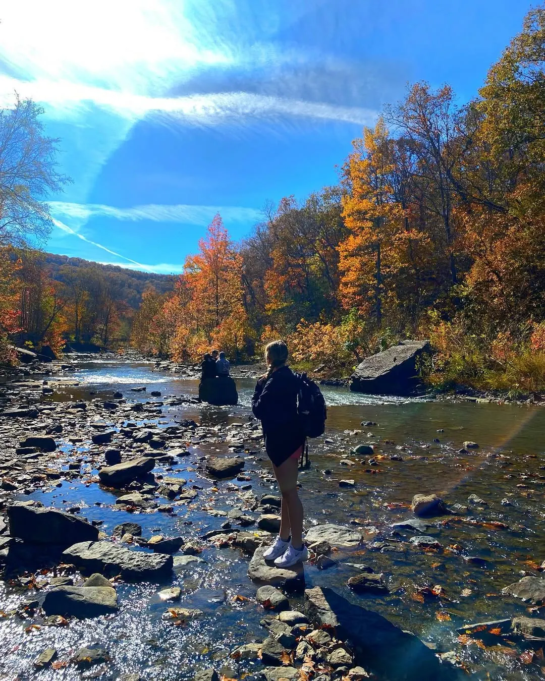
The park sits in Lee Creek Valley, about 30 miles south of Fayetteville. Yellow Rock Trail is a moderate 3-mile hike with roughly 300 feet of elevation gain and an estimated two hours of hiking time. It ends at an unobstructed view across the valley. Go early to mid-morning, because weekend crowds are common. Down in the valley, a native stone dam built by the Civilian Conservation Corps crosses Lee Creek and forms the eight-acre Lake Devil. From Fayetteville, take I-49 south and exit at West Fork or Winslow.
📍 11333 AR-74, West Fork, AR 72774
Winslow
White Rock Mountain
This is the hub of several National Forest trail systems. Those include a 2-mile Rim Trail loop around the top, a 17-mile Shores Lake loop and the Ozark Highlands Trail. Every road in includes some gravel, which is a fair price for the view.
📍 White Rock Mountain Recreation Area, 214 Bowles Gap Rd, Winslow, AR 72959
Eureka Springs Area
Inspiration Point
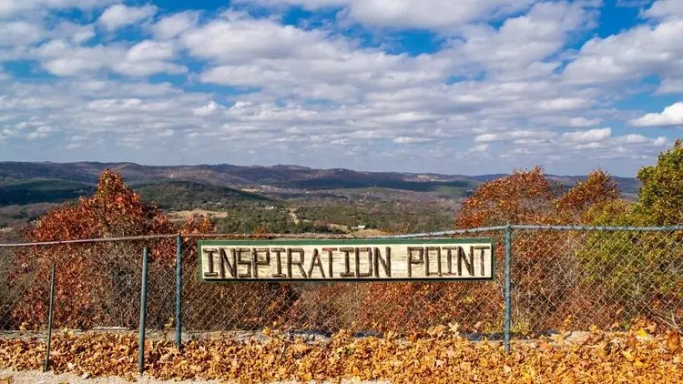
This roadside pull-off sits on the edge of a roughly 550-foot cliff and looks across the White River loop cutting through the valley. Fall color follows the riverbanks below, with crimson and amber layers that typically peak from late October into early November. It needs no hike, and the gorge is a nesting habitat for American bald eagles, so bring binoculars.
📍 US-62, about five miles west of Eureka Springs
Buffalo River Country
Whitaker Point (Hawksbill Crag)
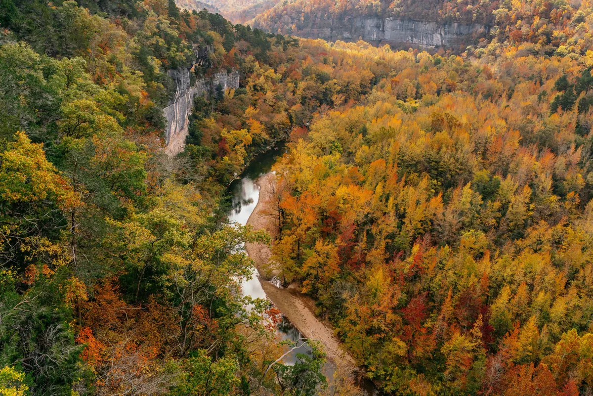
A beak-shaped bluff extends over the forest in the Upper Buffalo Wilderness and opens onto a wide valley and Whitaker Creek. The hike is about 3 miles round trip, and the crag is more than an hour’s drive from Fayetteville, so plan a full day. The trail has waterfalls, along with steep and exposed stretches near the overlook. Watch the weather before you head out. If you have time left, continue into Boxley Valley, where elk sometimes show up along the roadsides.
📍 Co Rd 406, Kingston, AR 72742
Lost Valley
The trail runs about 2.3 miles round trip through a box canyon. The first half-mile passes under groves of American beech trees that turn golden bronze in late October. That stretch is flat and smooth, and it leads to the Natural Bridge, a limestone tunnel. Beyond it, the trail climbs rocky stone steps to Cob Cave, a deep bluff shelter that frames the autumn woods, and ends at Eden Falls. The falls can run low or underground when late summer and early fall are dry. Plan an early-morning or late-afternoon visit to miss the busiest part of the day.
📍 Highway 43, about 1.5 miles south of Ponca, AR
Huntsville
Kings River Overlook Trail
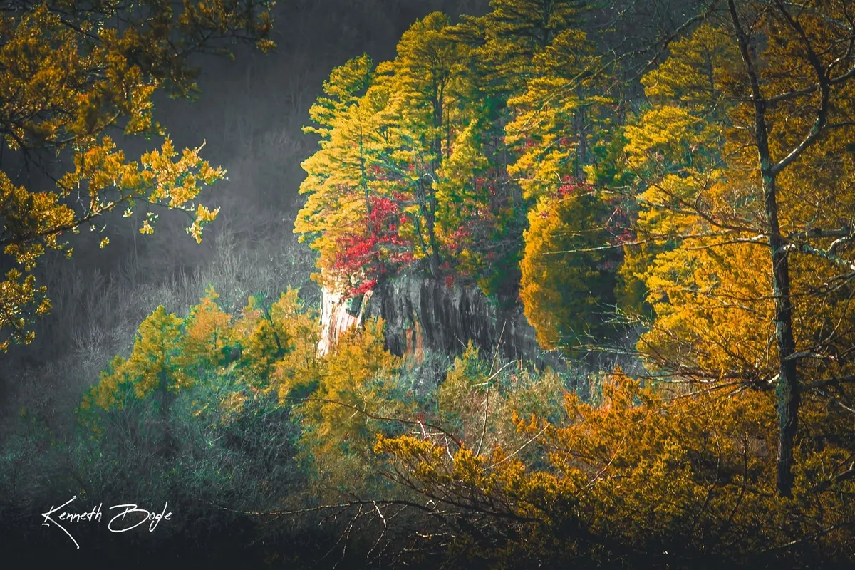
The overlook looks straight down on a river cutting through an orange forest. Beginners and experienced hikers both fit here, and dogs are welcome. The trail is foot-only, so bring comfortable shoes, plenty of water and snacks. Eagle Nest Falls is nearby.
📍 WMA 19, Huntsville, AR 72740
Leaf Peeping From the Driver’s Seat
Pig Trail Scenic Byway
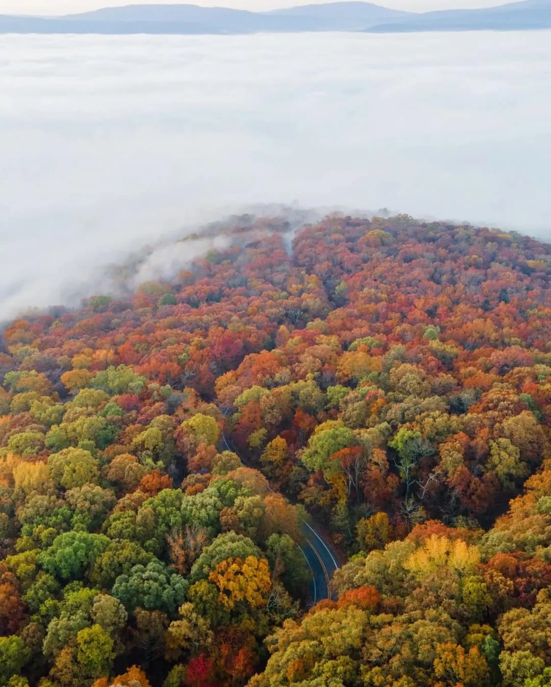
This winding 24.4-mile stretch runs through the Ozark National Forest and crosses the Mulberry River. Razorback fans have long used it to reach Fayetteville. From Fayetteville, head east on Highway 16, then turn south onto Highway 23, and stop at Terra Studios for a little art and whimsy. Expect steep grades and tight curves, and give yourself time to drive slowly. Fall weekends can be busy when the leaves near their peak. You can also continue toward Ozark through the Boston Mountains, then take I-40 and I-49 back toward Fayetteville.
📍 Arkansas Highway 23
Boston Mountains Scenic Loop
This one suits you if you want fall color without a trail. The 42-mile U.S. 71 stretch passes through Mountainburg, Winslow, West Fork and Greenland, with possible stops at Lake Fort Smith State Park and Artist Point. The 38-mile I-49 return crosses several high bridges and passes through the Bobby Hopper Tunnel. Add a hike by stopping at Devil’s Den, which sits just off the highway near West Fork.
📍 U.S. 71 and I-49, between Fayetteville and Alma
Pack a Full Tank
Mount Magazine State Park
Mount Magazine is the highest point in Arkansas, at 2,753 feet, and it sits about two hours south of Fayetteville. The Signal Hill Trail is a 1.5-mile round trip to the summit, where a stone map of Arkansas sits in a forest of gold and red. Cameron Bluff Overlook is the drive-up option, with limestone cliffs dropping into the Arkansas River Valley. Even if you aren’t staying overnight, the back patio of the lodge looks out over the valley. The climb up Highway 309, the Mount Magazine Scenic Byway, winds out of Paris with several pull-offs for photos.
📍 16878 AR-309, Paris, AR 72855
Arkansas Grand Canyon
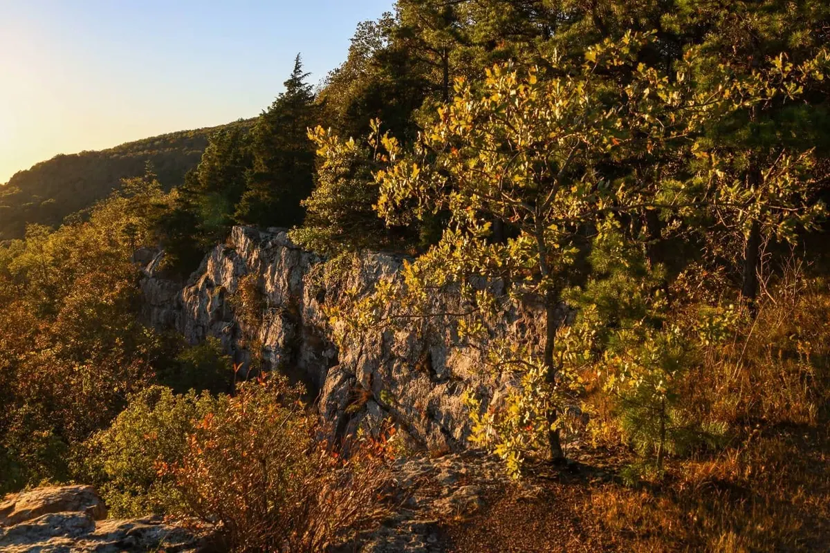
Jasper sits well past the metro area, and the Arkansas Grand Canyon offers a scenic view for anyone up for the longer drive.
📍 Arkansas Grand Canyon, AR 7, Jasper, AR 72641
Pick a spot from the list, call a friend and go see the leaves for yourself.